16 secper scan point
Move through occupied listings and tight access windows with less time at each capture position.
Capture demanding indoor and outdoor properties with professional-grade speed, image quality, and spatial data—while keeping platform costs aligned with the projects you actually shoot.
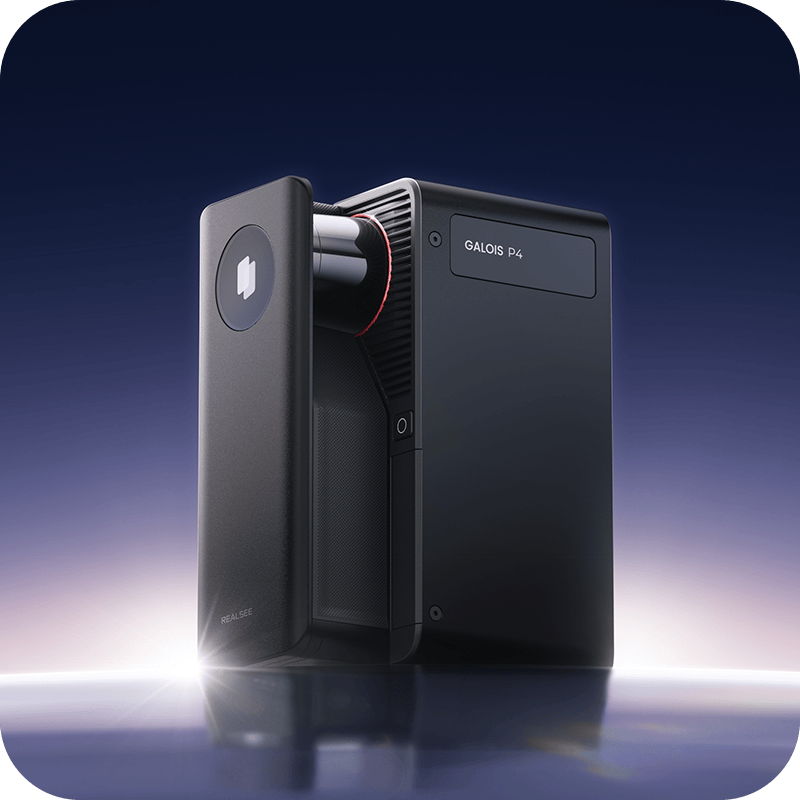
For property media professionals moving between residential listings, luxury homes, retail, fitness, and larger commercial spaces—not just occasional 360 tours.
Capture on site without staying connected to a phone, then upload and manage the project later.
Move through occupied listings and tight access windows with less time at each capture position.
Cover longer sightlines, larger commercial interiors, and indoor–outdoor property environments.
Preserve finishes, signage, views, and material detail for premium tours and client review.
Capture dense spatial data for point-cloud exports and compatible downstream workflows.
Official stated measurement error. Confirm technical fit with Realsee before high-risk survey, BIM, or engineering work.
Before a real estate photographer brings a new system onto a paid shoot, the output has to earn trust. Move through actual retail, fitness, and residential spaces—not a staged product demo.
Proof follows capability. These tours show how the system presents the kinds of spaces property media businesses are hired to document.
For photographers with seasonal listings, changing commercial volume, or clients who need different hosting windows: create Galois P4 projects without using credits, then use credits for active hosting and selected downloads.
Use the volume and hosting duration of your own property-media business. The result is an estimate—not a universal savings claim.
Pro2 and Pro3 uploads require Professional or higher, so Starter is excluded. Capacity is matched to the workload: for example, 54 concurrent spaces rounds up to the available 75-space Professional plan.
Package the same property scan for listing marketing, client review, or technical handoff. Downloads are supported with visible, output-specific credit requirements.
Review all deliverables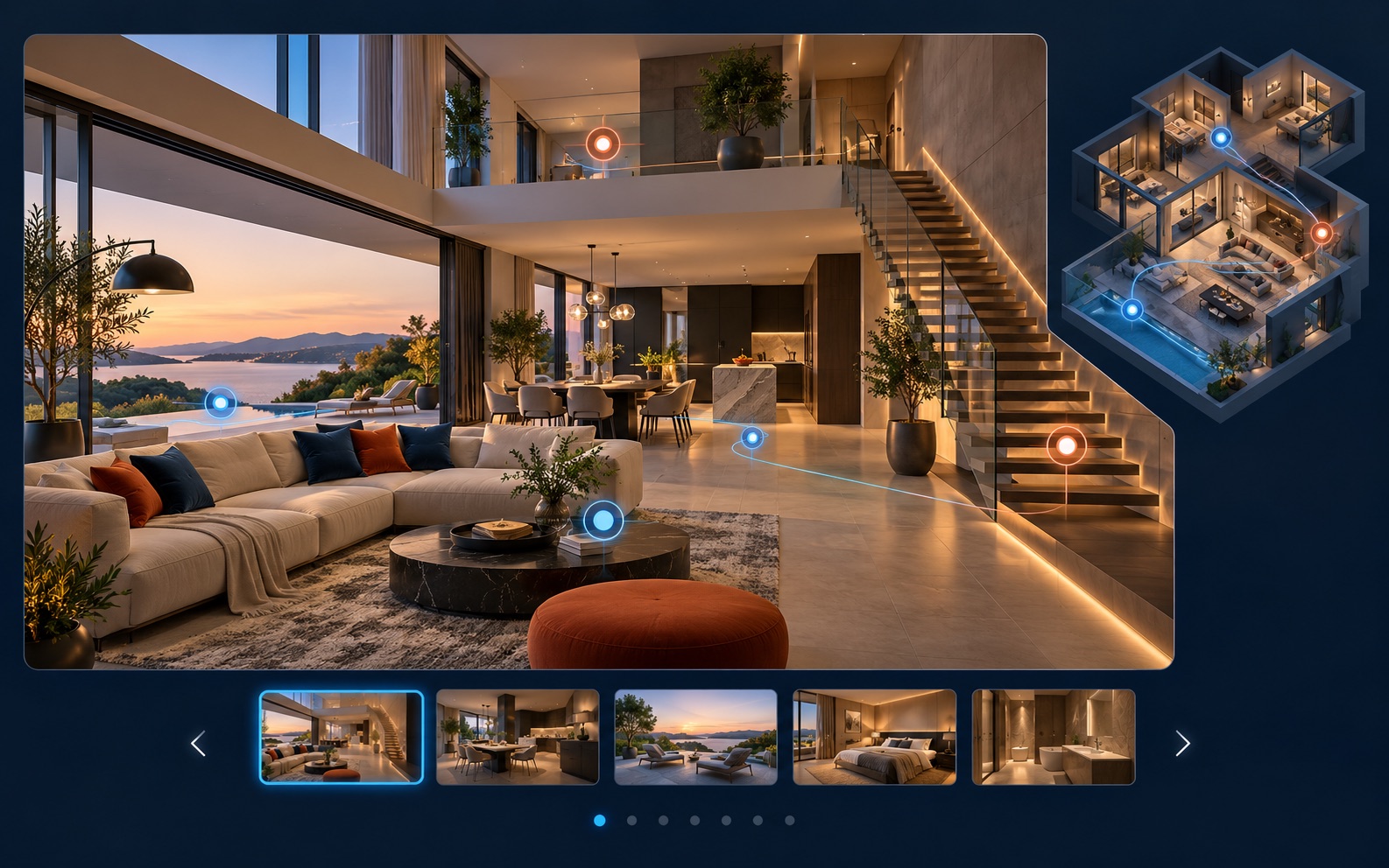
Deliver a web-based walkthrough for property marketing, remote review, and client presentation.
Cash equivalents use the current public credit-pack range of $2.25–$3.00 per credit. Compare these published requirements with your own current add-on costs; availability and pricing can vary by output.
Evaluate P4 on new commercial, luxury, or higher-value projects while existing tours stay in their current system. Adopt it at the pace that makes operational sense.
Galois P4 is currently listed by established U.S. photo retailers—an additional layer of reassurance for professional equipment buyers. B&H’s listing states a limited one-year manufacturer warranty.
Use Realsee’s onboarding guide for setup and output samples, or join the WhatsApp community for direct product and peer conversation.
Professional capture equipment delivered globally, without adding a shipping charge to the purchase.
For an established real estate photographer or property media company, the practical difference is how capture, hosting, outputs, and capacity fit the way you sell work.
Purpose-built P4 LiDAR capture with 16-second scan points and a 100m stated range.
Professional capture through Pro2 or Pro3 cameras on a supported Professional-or-higher cloud plan.
No mandatory monthly subscription. Credits are used for active hosting and selected downloads.
Recurring subscription priced by plan and active-space capacity.
One credit keeps one tour active for 30 days; Galois project generation does not use credits.
Published and shareable tours count against the plan’s active-space limit; archived spaces are not shareable.
Selected exports include panoramas, RAW, E57/PLY point clouds, 3D models, floor plans, and more; credit costs vary.
Output and technical-file availability varies by plan and add-on; consult current terms.
Evaluate P4 on selected new projects without moving the existing tour library.
Keep established projects and workflows within the Matterport ecosystem.
Review the official P4 configuration and decide whether the capture workflow fits the jobs you want to take on next.

